Mapas de calor en la región de Aysén
Mapas de calor en la región de Aysén
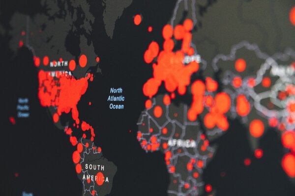
National projectThe project focused on the generation of heat maps to simulate the benefits of applying energy efficiency measures and plan new heat distribution lines.
The activities developed include the characterisation of homes and buildings in each locality, identification of energy consumption, and data collection to be used to generate maps of concentration of demand and consumption for heating in the urban areas of the different communes. The final heat map represents the locality geographically and the energy density is shown in colors, that is, the amount of energy that is consumed per area per year. Thanks to this tool it was known where it was consumed the most, where it was more efficient to install a boiler, and how, for example, hot water distribution lines could be located in a district heating project.
In addition, a comparison was made between the current housing stock and the simulation of the thermal demands in a scenario where all the houses and buildings are thermally insulated.
The project started in 2019 and ended in 2022.
Main beneficiaries: the energy poor.
It addressed the topics of: air quality, hard to treat homes, heating and cooling system, climate change, communities, indoor comfort (thermal comfort, housing quality), information and awareness, education, energy access and consumption, energy audits and energy efficiency.
-
-

Puerto Aysén, Puerto Chacabuco, Puerto Cisnes, Chile Chico, Chile
-
 Geographical scale:
-

-
 Intervention type:
-
 Professionals involved:
-
 Type of funding:
National funds, regional funds, local funds by Facultad de Ingeniería de la Universidad de Concepción, FI UdeC; la Secretaría Regional Ministerial del Medio Ambiente de Aysén y la Fundación Energía para Todos -
SDGs addressed:
